Researchers from the University of Aberdeen are using Unmanned Airborne Vehicle (UAV) based sensors to monitor, map and model coastal change around the Scottish coastline. The work is supported by two Scottish Natural Heritage-funded projects, including the PhD research of Geography student Andrew Smith, and a UCEMM/AICSM project led by Dr David R. Green (PI) and involving Dr Dmitri Mauquoy.
The research is exploring the use of several different types of UAVs to capture high resolution aerial imagery that will be used in conjunction with traditional aerial photography and satellite data to generate imagery and 3D surface models of selected coastal sites where change is thought to be most active.
The academic team is also working with commercial partners, including Billy J. Gregory of DroneLite, Dave Harrison of Geo4D Ltd., and Jason J. Hagon of Geodrone Survey Ltd., to fly the coastal sites and process the imagery.
Notes for Editors
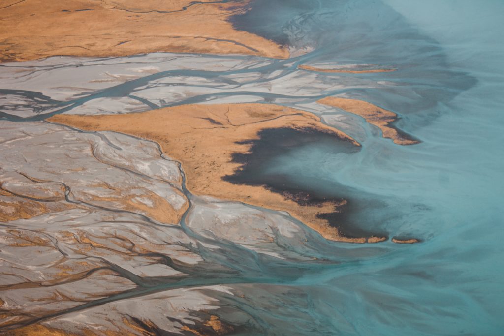
| Notes for Editors | Photo by Jordan Heath on Unsplash |
| Published | Wednesday August 28th, 2019 |