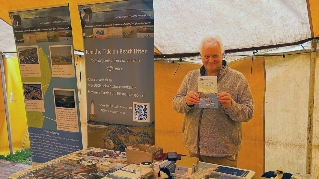
A novel project to create a unique series of maps of the Aberdeen and Aberdeenshire coast has recently been completed.
The East Grampian Coastal Partnership (EGCP) set out to create four maps for the north-east’s coastline. What makes these maps unique is that they also include a wealth of interesting facts about the people, history, environment, and activities that make Northeast Scotland special.
The Discover Maps Project is led by John Watson, a Director of EGCP Ltd. The graphic illustrations and maps were produced by Julie Wemyss and her team at Foyer Graphics with map cover illustrations provided by local artist Ian Thomson. Information for the maps was collected and edited by John Watson with the help of EGCP colleagues David R Green, Mike Skitmore, Ian Hay, Derek McDonald, Stephen Paterson, Lauren Smith, and Lauren Dunkley. Dr Fiona-Jane Brown, a native of Peterhead and Director of Hidden Aberdeen Tours and a local author and historian, also acted as a researcher for this project. A short accompanying video – made by Angus Turner (AVCimmedia) – features Professor Pete Smith.
The University of Aberdeen provided funding to EGCP to help the group to connect with coastal communities. The involvement of the University in the Discover Maps Project – via Professor David Green as Chair of EGCP demonstrates the long-standing connection the University has with local communities.
Dr Green from the University said: “I feel a great sense of pride being involved in this project and seeing the project now completed and we are all delighted with the finished maps.
“The Department of Geography and Environment has a long history and tradition of teaching Cartography within Scotland and, in more recent years, its evolution into Digital Mapping and WebGIS, which is now taught as part of our MSc in Geographical Information Systems Degree Programme.
“In my role as an academic – with a background in Cartography – I was particularly keen to help develop, contribute to, and promote the Discover Maps Project as I feel very strongly that paper maps are still a very important record of spatial information and also one that is a familiar and accessible form of visual communication; especially as many people are still very fond of the ‘look and feel’ of a paper map. In addition, these maps are an important part of teaching future generations, especially school children, about the value of the map as an information resource.”
Mike Skitmore, Vice-Chair, and a Director of EGCP added: “I am delighted to see this project completed. The Discover maps are about bringing our Coastal Heritage to life, for our young people, our communities and our businesses.”
The first map in the series – The Aberdeen Coast – was recently displayed at the International Cartographic Conference Exhibition in South Africa during the summer and a copy will be held in the British Cartographic Society (BCS) collection in the Bodleian Library in Oxford.
Related Content
Taken from the University of Aberdeen, School of Geosciences website. The University of Aberdeen published this article here on 14 December 2023.
Notes for Editors
| Reference | https://www.abdn.ac.uk/geosciences/departments/geography-environment/news/22631/ |
| Published | Thursday December 14th, 2023 |