Author: Cherie Edwards, Queen’s University Belfast Archaeology and Palaeoecology
There is a wide range of individualized datasets that apply to the Bronze Age in Scotland regarding occupation and utilization of upland zones between 2500-800BC. This project is focused on those sites above 200m that can provide chronological data for both occupation/land use and climate data. The upland zones appear largely bereft of occupation these days, unless you count sheep, but it wasn’t always this way. A close look at an OS map shows that upland zones retained the footprint of a landscape that was well-populated in prehistoric times and still visible into the early 19th Century.
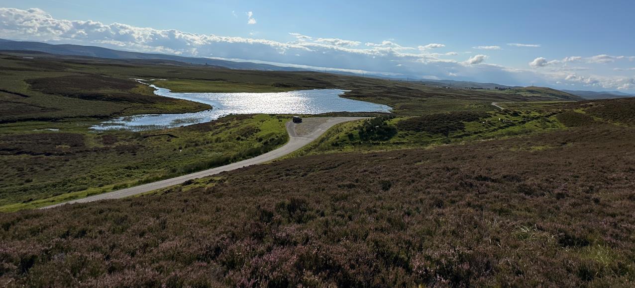
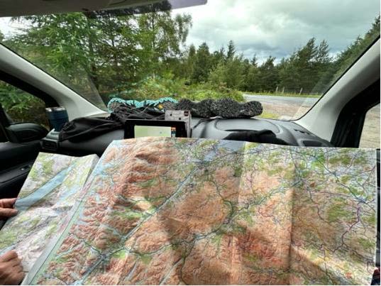
This summer, after a desk-based survey and a targeted review of paleoecology data, my fieldwork was focused on identifying sites that had been OS identified, confirmed by modern ground surveys via HHES or the RCAHMS office, and appeared – on paper – to be good candidates for future 14RC sampling. However, the condition of the sites and their location by GPS coordinates needed to be established. The Scottish Highlands, the infamous NC500 and the eye-popping views of the Wester-Ross coastal roads end up on many summer travel bucket lists. I was fortunate enough to see the glorious parts of Scotland that only the locals know. Armed with a 100m measuring tape, what seemed like a small library of OS maps, a camp stove, sleeping pad and bag, one small van, waterproof everything and a midge net, I have spent the last 4 weeks traipsing through bracken, gorse, heather, peat, bog, glen and strath locating, measuring and noting the varying remains of Bronze Age life. Like many a PhD researcher, I co-opted the best research assistant: my partner, who has survived it all in good humour. And it has been AMAZING!
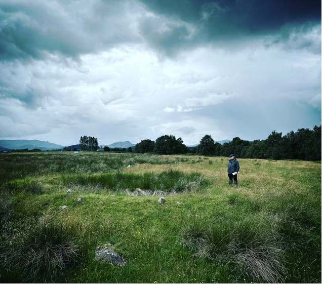
The data gathered this summer will be used to identify 25-40 selective sites in distinctive areas of Scottish upland zones to generate a regionalized dataset by combining existing data with new data from coring, strategic mini-trenching and sampling archived environmental samples. This will be used to draw conclusions about where people lived, engaged in sustenance activities and how those patterns changed as the climate changed in the Bronze Age. With cycles of wet and dry it isn’t hard to image that there were days those communities enjoyed the same long summer days of sunshine and mild weather while admiring the same landscapes, and days when they felt the brunt of the wind driven rain and soggy ground underfoot, seeking the shelter of their roundhouses. This land of dramatic landscapes has borne witness to it all and has stories to tell if we have the patience and determination to find them.
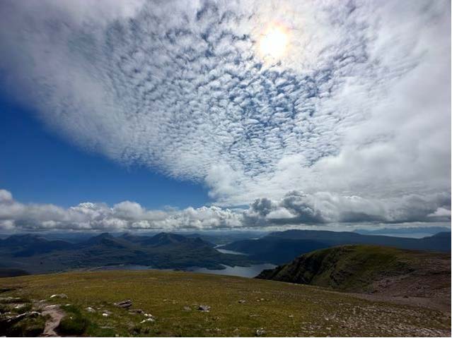
I did take the time to “bag a Munro” while I was out! The view was epic and the climb worth it!